166 days at sea
” You can read all the books, tech manuals, instruction books, discussions on forums and picking the brains of all those that have done extended cruises before, however, until you do a cruise of this distance and time, you have no idea what it takes. Yet, we met so many people that do this type of cruise year after year.
We used several publications in order to plan, track and gather information throughout this trip. I’m sure that other publications are available, however these were the ones we focused on to help insure a favorable experience. By far the Waggoner Guide was the publication that we used the most for Canada and Exploring S.E. Alaska for navigating Alaska. ”
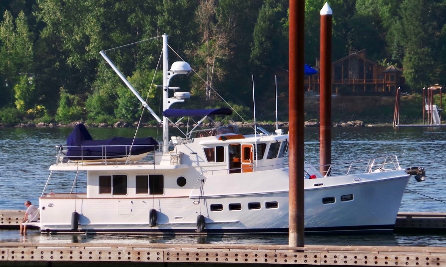
A Selene Ocean Yacht and an iPad
” The primary navigation that we used was Navionics on an iPad. For $50 a year you have a very nice, user friendly, chart program. This became our primary navigation tool. All you need is a tablet which has a built-in GPS so as to track your boat. If you choose to go this route, get a device with as much memory as possible! You can store so many charts without internet access.
In regards to staying in touch, while off the grid we did much better this year. We changed carriers to Verizon from AT&T. Rates and coverage are so much better and we think Internet access along the BC coast improved since last year. We also had our portable hotspot from Telus and as long as we were close to cell towers, we had internet coverage. We installed a cell phone booster and life was so much nicer and it really extended coverage no matter what device. AT&T is the main player in S.E. Alaska and so once we were away from the main cities internet was pretty much non existent. But we still had cell and text service. “

